Roads to Rome
Data vis project exploring one of the biggest quests of mobility: Do all roads really lead to Rome?

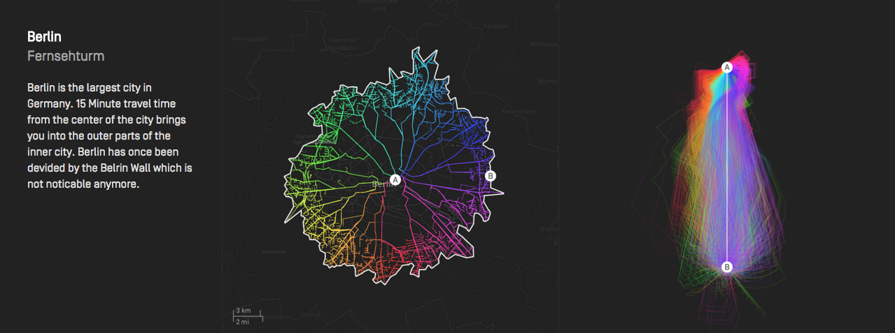
During my internship at moovel Lab, Benedikt Groß and I set out to explore if all roads really lead to Rome. We developed the tools necessary, calculated and designed several maps on the subject. Geographer Raphael Reimann put it all into context. See full credits
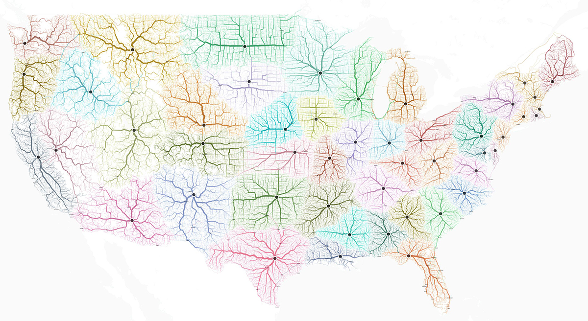
Along the way, we discovered that the United States have 9 cities which go by the name Rome. Calculating the routes to the nearest Rome(s) in the U.S. then lead us to reimagine state borders that follow mobility.
For detailed information, interactive maps, an “explore” app, media downloads, etc. head over to the project page: roadstorome.moovellab.com







Credits
Concept/Idea:
Benedikt Groß and Philipp
Schmitt
Programming/GIS:
Benedikt Groß, Philipp Schmitt and
Raphael Reimann
Documentation/Text:
Philipp Schmitt and Raphael Reimann
Map data:
OpenStreetMap
Routing Engine:
GraphHopper
Geospatial Analysis:
turf.js
Interactive Maps
leaflet.js,
mapbox GL JS
and tippecanoe
Backend/Tooling:
node.js and
mongoDB